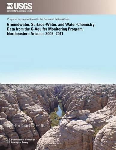
Groundwater, Surface-Water, and Water- Chemistry Data from the C-Aquifer Monitoring Program, Northeastern Arizona, 2005?2011: (English)
Series: English
The C aquifer is a regionally extensive multiple-aquifer system supplying water for municipal, agricultural, and industrial use. Increases in water use and/or drought conditions have been reported to cause a lowering of the C-aquifer potentiometric and water-table surfaces (Bills and others, 2000). This decline in water level is observed in monitoring wells and is illustrated in the drying up of O
NaN
VOLUME
English
Paperback

The C aquifer is a regionally extensive multiple-aquifer system supplying water for municipal, agricultural, and industrial use. Increases in water use and/or drought conditions have been reported to cause a lowering of the C-aquifer potentiometric and water-table surfaces (Bills and others, 2000). This decline in water level is observed in monitoring wells and is illustrated in the drying up of Obed Meadows, a natural peat deposit, and Hugo Meadows, a natural wetland-both south of Joseph City, Arizona (Donald J. Bills, U.S. Geological Survey, oral commun. 2011). To address these concerns, the U.S. Geological Survey (USGS), in cooperation with the Bureau of Indian Affairs, developed a long-term monitoring plan in 2005 for the C aquifer in the region of Holbrook to Flagstaff along the Interstate 40 (I-40) corridor to establish baseline groundwater and surface-water conditions.
Price Comparison [India]
In This Series
Bestseller Manga
Trending NEWS


