Palisades Trail Map
Series: Tom Harrison Maps
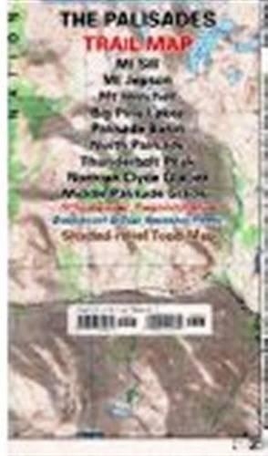
The Palisades Trail Map covers the Big Creek area of the eastern Sierra on the boundary between Kings Canyon National Park and Inyo National Forest. It includes the Palisades and Norman Clyde Glaciers, Bishop and Mather Pass, and the Big Pine Lakes. Printed on waterproof & tear resistant plastic.
NaN
VOLUME
English
Sheet map, folded

The Palisades Trail Map covers the Big Creek area of the eastern Sierra on the boundary between Kings Canyon National Park and Inyo National Forest. It includes the Palisades and Norman Clyde Glaciers, Bishop and Mather Pass, and the Big Pine Lakes. Printed on waterproof & tear resistant plastic.
Price Comparison [India]

In This Series


Bestseller Manga


Trending NEWS