Cheeseboro-Palo Comado Canyons Trail Map
Series: Tom Harrison Maps
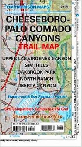
Shaded relief map printed on waterproof and tear resistant material. Scale 1:31,680 (1 inch representing 0.5 mil) This map includes the area North of the Zumas-Trancas Canyon Trail Map by the same cartographer. You may drive to it via 101 freeway and is of easy access. Features: Upper Las Virgenes Canyon, Simi Hills, Oakbrook Park, North Ranch and Liberty Canyon. GPS Compatible. Complete UTM Grid.
NaN
VOLUME
English
Sheet map, folded

Shaded relief map printed on waterproof and tear resistant material. Scale 1:31,680 (1 inch representing 0.5 mil) This map includes the area North of the Zumas-Trancas Canyon Trail Map by the same cartographer. You may drive to it via 101 freeway and is of easy access. Features: Upper Las Virgenes Canyon, Simi Hills, Oakbrook Park, North Ranch and Liberty Canyon. GPS Compatible. Complete UTM Grid. Printed on waterproof & tear resistant plastic.
Price Comparison [India]

In This Series


Bestseller Manga


Trending NEWS