Kings Canyon High Country Trail Map
Series: Tom Harrison Maps
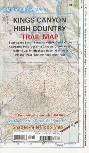
All maps have color-coded symbols and trails, mileages between trail junctions, latitude/longitude, UTM grids, contour lines, vegetation, and elevations at trail junctions. Tom Harrison Maps is famous for the beauty and accuracy of its maps. All maps printed on waterproof and tear resistant material
NaN
VOLUME
English
Sheet map, folded

All maps have color-coded symbols and trails, mileages between trail junctions, latitude/longitude, UTM grids, contour lines, vegetation, and elevations at trail junctions. Tom Harrison Maps is famous for the beauty and accuracy of its maps. All maps printed on waterproof and tear resistant material
Price Comparison [India]

In This Series


Bestseller Manga


Trending NEWS